Pulau
Ketam was originally a small uninhabited island full of mangrove swamps, located
at the estuary where the Langat and Klang rivers met with the Straits of
Malacca. According to legend, three
Hainanese fishermen, who were originally from China but migrated to Malaya,
were the first to come regularly to Pulau Ketam to catch the crabs which were to be
found in abundance on the island.
The
fishermen initially came to the island and returned to their homes in Port
Klang on the mainland on a daily basis. As the trips took the best part of the
day, eventually the fishermen built a shared small house on the island to stay
overnight. On the second day, the fishermen would return to Port Klang to sell
their crabs on the mainland and restock on supplies before returning to the
island.
Eventually, the fishermen decided to stay permanently on the island. By 1883, the population on the island had increased to almost a hundred people. As the population increased gradually, the Hokkiens and Teochews also migrated
to this island to earn a living. They initially resided at Jalan Besar, Sungai
Dalam and Bagan Teochew in shared timber houses called "Kongsi Houses"
("Kongsi" means “Sharing”). During World War II as Malaya was conquered
by the Japanese, a lot of more people fled to Pulau Ketam, because it was considered
safe from war. As a result the population boomed even further.
 |
| Pulau Ketam. |
Today however, the population of Pulau Ketam is in decline. The younger folk have moved over to the mainland to work and make a living. Some fishermen have moved to Endau and Mersing over in the east coast where the fishing is better. The population now very much relies on the tourist trade, especially domestic tourists.
 |
| Location of Pulau Ketam showing the route of the ferry. |
Pulau Ketam is the outermost island in a series of islands made up of mangrove swamps located offshore from Port Klang. The other islands here include Pulau Indah, Pulau Klang, Pulau Che Mat Zin, Pulau Selat Kering, Pulau Pintu Gedong, Pulau Rusa and Pulau Tengah. The islands essentially form a shield or barrier for Port Klang from the elements, making the port a safe anchorage. Except for Pulau Indah and Pulau Ketam, the rest of the islands are uninhabited.
To get to Pulau Ketam, you need to first go to the ferry terminal in Port Klang called South Port. If you are driving, just take the Federal Highway from Kuala Lumpur and head west towards Kelang. Follow the road signs which either indicate "Pelabuhan Selatan" (South Port) or "Pulau Ketam" and you won't go wrong.
Eventually the road will reach the sea, with the South Port Passenger Terminal to your left. You can turn right and enter the paid carpark area of Kompleks Dato' Shaari Jihin which is also known as Asa Niaga Terminal. This is actually a harbour complex where you can catch boats that go to Sumatra, Indonesia.
 |
| You can park at Kompleks Dato' Shaari Jihin. |
Since you are not catching a boat to Sumatra, walk back out of the gate after parking your car and go back down the road towards the South Port Passenger Terminal. You will walk pass the Pelabuhan Kelang KTM Komuter railway station along the way.
 |
| Pelabuhan Kelang KTM Komuter Station. |
This is the last station on the Tanjung Malim-Pelabuhan Kelang KTM Komuter railway line. If you have no car, the easiest way to get to South Port by public transport from Kuala Lumpur would be to take the train.
Once past the junction with the KTM station, you will come to the Terminal Penumpang South Port, which basically means South Port Passenger Terminal.
 |
| South Port Passenger Terminal. |
Inside the terminal building you will see an open air waiting area. Ticketing counters to Pulau Ketam can be clearly seen. There are three different counters.
The yellow counter are for the water taxi's or basically open-air speedboats which supposedly will take only 20 minutes travel time. You basically charter the whole boat or pay the asking price per passenger and wait until there is enough people to make it worth the while for the owner to depart.
The white counter is for the air-conditioned speedboat. Tickets cost RM8 per adult one way and RM5 for children. (Price in Aug'17).
 |
| Ticket counters. |
The third counter is for the new Alibaba ferry service which was recently introduced in 2016. This uses a bigger, newer and more comfortable air conditioned ferry.
 |
| Alibaba ferry service. |
The journey time for the Alibaba ferry takes 35 minutes and a return ticket costs RM18 per adult, whereas a one-way ticket costs RM10 per adult. For children, its RM10 (return) and RM6 (one-way).
 |
| Alibaba ferry schedule. |
We decided to take the Alibaba boat, being the largest and newest boat in service. After buying our tickets we hung around the terminal and waited.
 |
| Operation hours of the terminal and boat schedule. |
 |
| For some reason, there is a giant golden crab at the passenger terminal. |
After a short wait, the ticket seller announced that the boat was arriving and told us to walk to the jetty.
 |
| The jetty leading to the boat dock. |
 |
| The jetty. |
 |
| This is the smaller, older air-conditioned boat that costs RM8. |
 |
| The Alibaba boat, bigger and newer. |
The Alibaba boat is definitely the way to go. It has an open air top-deck you can hang out if you prefer, or an air-conditioned lower deck with proper seats and a television screen.
 |
| The open air top deck of the Alibaba boat. |
 |
| The air conditioned lower deck. |
As mentioned earlier, the journey takes about 35 minutes. You will push off from South Port and head west down the channel with Pulau Indah on your left and Tanjung Harapan (Cape of Hope) on your right.
Once past Tanjung Harapan, the boat will actually bisect through the centre of Pulau Klang via a narrow channel. You will see mangrove swamps on both sides as you cut through the island. Eventually you will exit out the other side and cross the next open water channel to get to Pulau Ketam. As you cross this channel, you will see kelongs or floating fish farms which belong to the islanders. Then you reach the island itself. Some ferries may stop at Sungai Lima village, the other settlement on Pulau Ketam, so-called because it is located at the fifth river away from the main Pulau Ketam village.
Our boat however did not stop there, but instead entered into the narrow channel between Pulau Ketam and Pulau Tengah.
 |
| The channel between Pulau Ketam and Pulau Tengah. Pulau Tengah is in the background. |
As our boat cruised up the channel, the stilted houses of Pulau Ketam came into view on the right side of the channel, with the natural mangrove swamps of Pulau Tengah on the left providing a contrast.
 |
| The stilted houses of Pulau Ketam village. |
The sight of the stilted houses from the sea is quite impressive if you have never seen such a thing before.
 |
| Buildings built on stilts over the water. |
 |
| Pulau Ketam jetty. |
Eventually you will reach the jetty where the boat will disembark.
 |
| This is where you get off. |
At the jetty, you can actually rent bicycles if you so desire. This is the main form of transport on the island, as there are no cars or other vehicles.
 |
| Bicycle rental. |
If you choose not to rent a bicycle, just walk on down the jetty into the village.
 |
| Walk down the jetty. |
 |
| The main river of Pulau Ketam village, as seen from the jetty. |
In low tide, if you look over the side of the jetty, you will see plenty of little crabs scuttling on the mud-flats. These are the crabs that give their name to the island.
 |
| Crabs. |
 |
| At the end of the jetty, an open air platform with signage welcoming you to the island. |
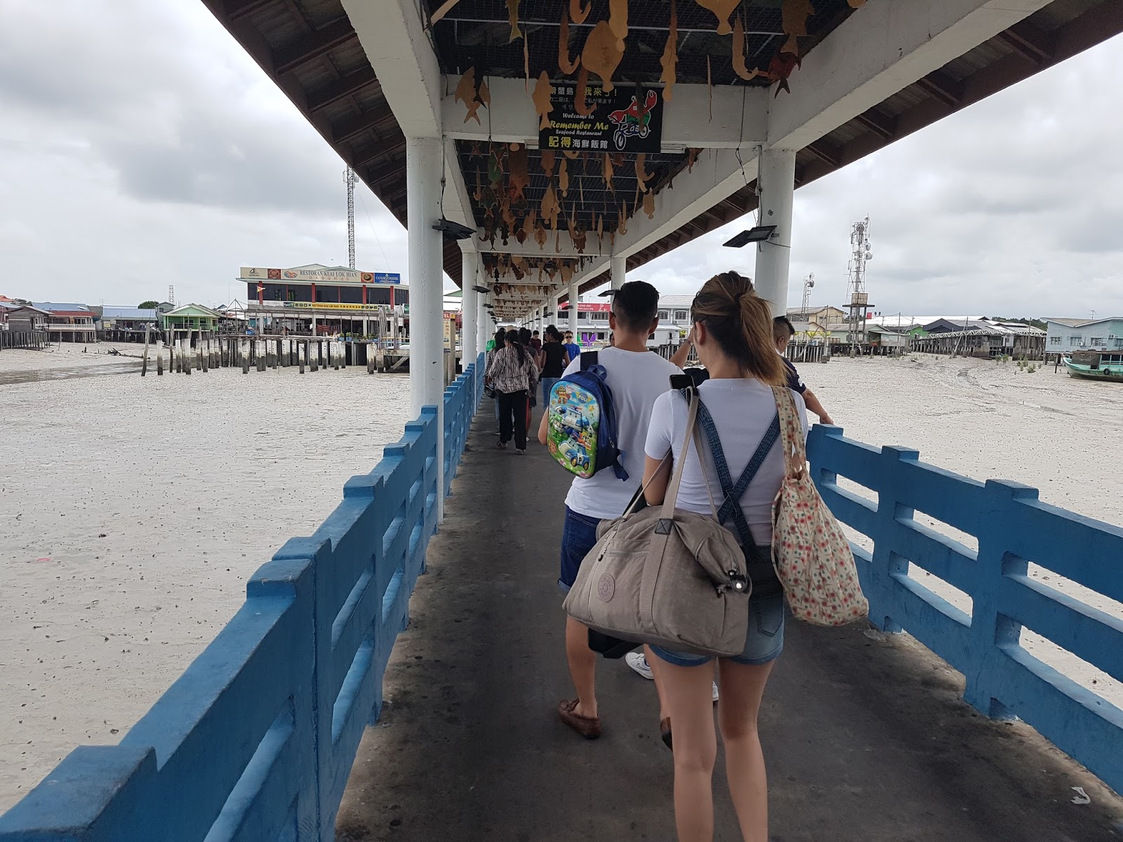
 |
| This restaurant is the first building you will see. |
Once you reach the end of the jetty, you will see a restaurant on your left, and the Sealion hotel on your right. The Sealion is the main hotel on the island; there are other homestay options as well.
 |
| The Sealion Hotel is the next building. |
You will notice that all the buildings are elevated on stilts, even those over land. This is of course to avoid being flooded in high waters.
After you pass by the two buildings, you will see the sign for "Bomba Sukarela" or volunteer fire brigade. The village indeed has to be self-sufficient, and in addition to the fire station, also has its own police station and clinic. There is a tour desk at the bottom of the fire station, from which you can book a boat trip round-the-island and to the floating fish farms.
 |
| There is a small tour desk on the left hand side of the "Fire station". |
A seafood restaurant that claims to be pork free is located right next to the small mosque that serves the islanders.
 |
| Seafood restaurant. |
 |
| The small mosque that serves the minority islamic population on the island. |
You can continue walking into the main part of the village, past the archway commemorating the eighth Sultan of Selangor's reign from 1960-1985.
 |
| Sultan Salahuddin's archway. |
 |
| Another pork-free restaurant. |
As noted by most bloggers who visit here, hygiene is not high on the list of priorities. Flotsam and jetsam carried in by the tide is left on the ground when the waters recede. There is no sanitation system, so when you go to the toilet, you deposit straight to the ground!
 |
| The main road of Pulau Ketam village. |
Due to its large chinese population, Pulau Ketam has several temples. The Hock Leng Keng temple is one of the bigger ones.
 |
| Hock Leng Keng temple. |
 |
| Another view of the temple. |
 |
| Another small temple across the river. |
 |
| The river that runs through the village. |
 |
| Each house will have a boat instead of a car. |
 |
| Shrimp drying in the sun to preserve it. |
 |
| Fishermen's boats. |
 |
| River leading out to sea. |
 |
| Low tide. |
 |
| Pulau Ketam. |
 |
| Map of Pulau Ketam village. |
You can easily spend an hour or so exploring the village either on foot or by bicycle. Pulau Ketam would be an interesting visit for the foreign tourist who wants to see something off the beaten track and how the local fishing community lives. For local tourists, it is a way to take a break from city life and maybe eat some seafood.


No comments:
Post a Comment